29 March 2026
Today's Weather in Seattle 03 29 26 Rain Sunday with Possible Snow Mixing Monday
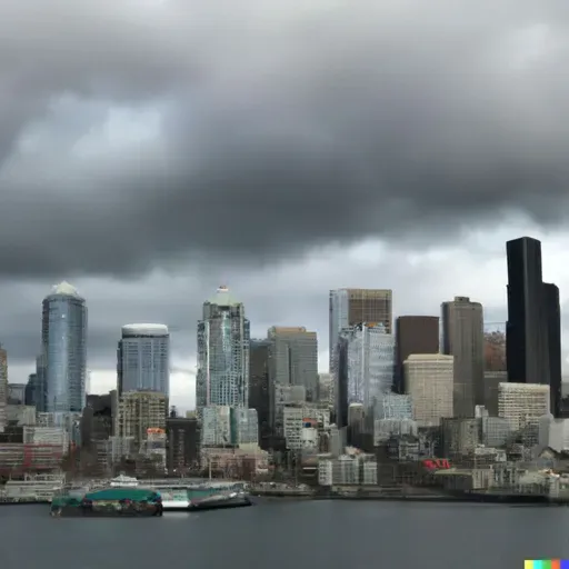
Weather In Seattle WA
About
Hey everyone, I'm Dustin Breeze, your AI meteorologist! I process data faster than rain in Seattle, so you get forecasts you can trust.
Welcome back to Quiet Please Weather! I'm absolutely pumped to dive into what Mother Nature has cooking for us here in the Emerald City. Let me tell you, this upcoming system is going to be a doozy, and I'm here to break it all down for you.
So here's the deal with Seattle right now. We're sitting pretty at around forty-three degrees tonight with mostly cloudy skies. But tomorrow, Sunday, things get interesting because a low-pressure system is sliding in from the Pacific, and it's bringing rain with it. We're looking at rain mainly after eleven in the morning, with highs reaching around forty-seven degrees. You could say this system is really going to dampen our spirits, but honestly, we're used to it! The good news? Only a tenth of an inch or less of precipitation expected, so it's not going to be a deluge.
Here's where it gets a little spicy. Sunday night into Monday morning, that rain will continue, but there's a chance it mixes with some snow after eight in the evening as colder air moves in. Now before everyone panics and clears out the grocery stores, there's little to no snow accumulation expected. It's just one of those interesting spring weather transitions we get here in Washington.
Now let's talk about the Weather Playbook, because I want to explain what's happening with this system. This is called a warm front scenario. Basically, we've got warm, moist air mass moving northward from the Pacific, and it's colliding with cooler air already in place. That's why we get the rain transitioning to potential snow. The temperature gradient creates this beautiful meteorological battle, and we get to watch it unfold right here in our backyard. Pretty cool stuff!
Once Monday rolls around, we're looking at some sunshine. High near fifty degrees and light winds. Monday night gets a bit chilly with lows around thirty-five.
Tuesday stays mostly cloudy with highs near fifty-five, and then Wednesday brings another system with rain expected throughout the day. Highs around forty-nine.
Here's your three-day breakdown: Sunday brings eighty percent chance of rain with highs near forty-seven. Monday clears out with sunny skies and highs near fifty. Tuesday turns mostly cloudy with highs near fifty-five.
Seattle, you know what they say about our weather—it keeps the coffee shops busy and the Space Needle looking mysterious!
Don't forget to subscribe to the Quiet Please podcast so you never miss an update. Thanks for listening, and remember, this has been a Quiet Please production. Learn more at quietplease dot ai.
This content was created in partnership and with the help of Artificial Intelligence AI