03 September 2025
Florida Gulf Coast Beach Forecast: Sunny Skies, Mellow Waves, and Afternoon Thunderstorm Chances Sweep Coastal Regions
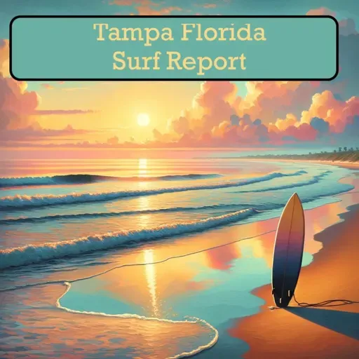
Surf Report Tampa Florida
About
Surf's Up, Beach Adventurers! Welcome to your West Central and South Florida coastal outlook for Wednesday!
Breaking waves are looking mellow today with surf heights barely kissing one foot throughout our beautiful coastline from Cedar Key down to Fort Myers Beach. Temperatures are sizzling in the upper 80s with water temperatures matching that tropical warmth in the mid to upper 80s.
For our northern zones around Levy and Citrus counties, expect a mostly sunny paradise with gentle north winds dancing at 5 to 10 miles per hour. UV levels are cranking up to very high, so sunscreen is your best friend today!
Moving south to Pinellas and Sarasota beaches, get ready for some afternoon excitement! Partly sunny skies will host a dance of isolated showers and thunderstorms. Those northeast winds will keep things interesting at 5 to 10 mph.
Down in Charlotte and Lee County beaches, the morning starts gloriously sunny but afternoon clouds will roll in with potential scatter showers. Winds will playfully shift from northeast to west, then eventually southeast.
Rip current risk remains low across all zones, but beach veterans know to stay alert near jetties and piers. Tide hunters can catch high tides mid-morning around 9 to 11 AM at various locations.
Thursday promises similar vibes with partly sunny skies and chances of isolated thunderstorms. Winds will continue their gentle ballet across coastal regions.
Stay cool, stay safe, and enjoy our stunning Florida coastline!
For more http://www.quietplease.ai
Get the best deals https://amzn.to/3ODvOta