09 April 2026
Puerto Rico Virgin Islands Surf Forecast April 9 13 High Rip Current Risk Northern Coasts Six Foot Waves
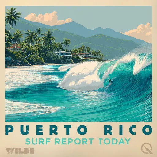
Surf Report San Juan Puerto Rico
About
# Surf Zone Forecast for Puerto Rico and the U.S. Virgin Islands
Good morning, this is your Surf Zone Forecast for Thursday, April ninth through Monday, April thirteenth.
A HIGH RIP CURRENT RISK is in effect through late Friday night for the northern coasts of Puerto Rico and the island of Culebra. Swimmers and water enthusiasts should exercise extreme caution in these areas, as life-threatening rip currents are likely in the surf zone.
Starting with the northern tier of beaches, San Juan and vicinity including Carolina and Toa Baja will see surf around six feet today and Friday with mostly sunny skies and scattered showers. East winds will be ten to fifteen miles per hour. The rip current danger remains high through Friday night, so please stay alert and aware of water conditions.
Moving eastward, the Northeast coast including Rio Grande, Luquillo, Fajardo and Humacao will also experience six-foot surf today and Friday with similar conditions and that same HIGH RIP CURRENT RISK through Friday night. Conditions improve slightly Saturday with surf dropping to five feet, then returning to around six feet for the weekend.
The North Central beaches of Arecibo, Manati, Vega Baja, Vega Alta and Dorado will see six-foot surf and HIGH RIP CURRENT RISK conditions continuing through Friday. Winds will be light, around ten miles per hour, with scattered showers throughout the period. By Monday, expect more numerous showers with isolated thunderstorms.
Out in the Northwest near Aguadilla, Camuy, Isabela and Quebradillas, six-foot surf is expected with HIGH RIP CURRENT RISK through Friday night. Winds here will be lighter, just five to ten miles per hour, with scattered showers and isolated thunderstorms developing by Saturday.
The western side of the island tells a different story. Mayaguez and vicinity including Aguada, Anasco and Rincon will see calmer conditions with surf around four to five feet and only a MODERATE RIP CURRENT RISK. Expect numerous showers with isolated thunderstorms, especially as we move through the weekend.
The Southwest coast around Cabo Rojo, Guanica and Lajas features the smallest waves of the forecast area with surf around three to four feet and a LOW RIP CURRENT RISK. Winds will be slightly stronger here at ten to fifteen miles per hour today and Friday.
Ponce and vicinity and the Southeast beaches of Arroyo, Guayama, Maunabo, Patillas and Yabucoa will experience LOW RIP CURRENT RISK conditions with surf around three feet. Friday looks particularly nice for the Southeast with sunny skies and four-foot surf. Both areas will see increasing shower activity and possible thunderstorms by Monday.
Culebra maintains that HIGH RIP CURRENT RISK through Friday night with six-foot surf, stronger east winds around fifteen miles per hour, and mostly sunny conditions. Vieques, just to the south, shows MODERATE RIP CURRENT RISK with four-foot surf, slightly lower wind speeds, and scattered showers throughout the period.
In the U-S Virgin Islands, St Thomas, St John and adjacent islands will see five-foot surf today with MODERATE RIP CURRENT RISK. Winds will be brisk at fifteen to twenty miles per hour with isolated showers. St Croix will experience similar MODERATE RIP CURRENT RISK conditions with five-foot surf and east winds around fifteen miles per hour.
Looking ahead to the weekend and into Monday, shower activity will increase across much of the region with isolated to scattered thunderstorms possible, particularly over the western and northern portions of Puerto Rico. Winds will remain predominantly from the east at ten to fifteen miles per hour. Rip current risks will gradually decrease Saturday as the HIGH RIP CURRENT RISK expires Friday night.
This is your National Weather Service Surf Zone Forecast. Stay safe in the water and always check local conditions before heading out.
For more http://www.quietplease.ai
Get the best deals https://amzn.to/3ODvOta
This content was created in partnership and with the help of Artificial Intelligence AI