03 September 2025
Sizzling South Florida Beach Forecast: High Heat, Moderate Rip Currents, and Thunderstorm Potential Await Surfers and Beachgoers
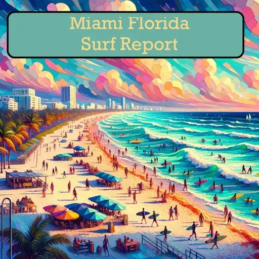
Surf Report for Miami Florida
About
Surfers and beach bums, buckle up for your coastal weather blast! The Palm Beach zone is serving up some serious summer vibes with a moderate rip current risk that demands your respect. We're looking at surf heights hovering between 1 to 2 feet - perfect for beginners but keep those skills sharp.
Today's forecast is a scorcher with temperatures rocketing to around 90 degrees and a heat index pushing a sweltering 105. Northwest winds will dance across the water this morning, then pirouette to the northeast by afternoon. Expect mostly sunny skies with a high-voltage thunderstorm potential that could light up the horizon.
Water temps are sitting pretty in the upper 80s - basically a warm bath with waves. The UV index is cranked to high, so slather on that sunscreen unless you want to look like a lobster. Sunrise kicks off at 7:00 AM, with sunset painting the sky at 7:39 PM.
Tidal action at Lake Worth Pier shows a low tide at 11:01 AM and a high tide rolling in at 5:42 PM. Pro tip: time your beach session around these rhythms for maximum ocean enjoyment.
Thursday brings a similar vibe with slightly mellowed conditions. Temperatures will hover in the upper 80s, thunderstorm potential drops to moderate, and winds will shift to a southwest flow. Expect mostly sunny skies until early afternoon, then clouds will start muscling in with potential showers.
Bottom line: Stay hydrated, watch those rip currents, and embrace the electric energy of these South Florida beach days. Surf's up, beach warriors!
For more http://www.quietplease.ai
Get the best deals https://amzn.to/3ODvOta