25 March 2026
Southern California Surf Forecast Wednesday March 25 West Swell Building Ventura Santa Barbara Central Coast Best Waves
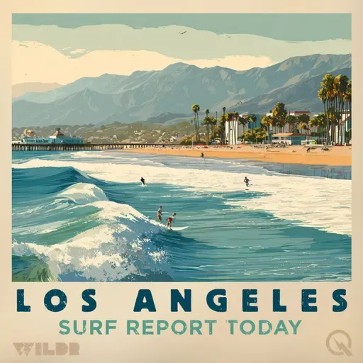
Surf Report for Los Angeles California
About
Good morning, this is your Southern California surf forecast for Wednesday, March 25th, 2026.
We're looking at a mostly mellow day across the region as a west swell begins to work its way in. Let's break down what's happening at each zone.
Starting in Los Angeles County and down the Malibu Coast, conditions are staying pretty low key today with surf heights hovering between one and two feet. Water temps are pleasant, sitting between 61 and 66 degrees. Rip current risk stays low, so swimmers and paddlers should be comfortable out there. By tomorrow though, we'll see that west swell kick in and bump things up to one to three feet with still low rip current risk.
Ventura County is where things get more interesting. Today you're looking at one to three feet with that west swell already making an appearance. Water temps are a bit cooler, around 63 to 65 degrees. Now here's the important part: by Thursday, moderate rip current risk moves in as that west swell continues building. Surf will jump to two to four feet, so if you're paddling out, be aware of those currents and respect the ocean.
Santa Barbara County, both the southwestern and southeastern coasts, is seeing similar patterns. Today is quiet with one to two foot surf and water temps around 62 to 63 degrees. But Thursday brings moderate rip current risk and a solid increase to two to four feet as that west swell intensifies.
Now if you want to see some real action, head to the San Luis Obispo and Santa Barbara Central Coast beaches. Today's already showing some juice with three to five foot faces and that water is noticeably colder at 55 to 57 degrees. Tomorrow is where it gets serious. Northwest facing beaches are expecting six to nine feet while southwest facing breaks will see three to six feet. This is where the real swell is happening.
No thunderstorms are expected anywhere along the coast, so you won't have to worry about lightning out there.
High tides are early tomorrow morning, dipping into negative territory around midday before picking back up in the evening, which should help with wave shape and beach access throughout the day.
Stay safe out there and enjoy whatever conditions suit your skill level.
For more http://www.quietplease.ai
Get the best deals https://amzn.to/3ODvOta
This content was created in partnership and with the help of Artificial Intelligence AI