10 June 2026
Southern California Surf Forecast June 9-11 2026: Six to Ten Foot Waves, High Rip Currents, Perfect Conditions
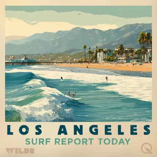
Surf Report for Los Angeles California
About
Good afternoon, this is your Southern California surf forecast for Tuesday, June 9th through Thursday, June 11th, 2026.
Let's start up north where San Luis Obispo and Santa Barbara's central coast are firing. You're looking at six to nine feet this afternoon and Wednesday, with those waves backing off slightly to five to eight feet come Thursday. Water temps are sitting in that chilly fifty-four to fifty-six degree range, so if you're heading out there, you'll definitely want that wetsuit. The swell is a nice mix of west and south swells keeping things interesting.
Moving down the coast to Santa Barbara's southwestern and southeastern sections, conditions are a bit more mellow. Expect two to four foot waves throughout the period with water temperatures ranging from sixty-two to sixty-four degrees. The moderate rip current risk means you'll want to be aware of currents, but nothing too gnarly. Same mixed swell pattern keeping the ocean busy.
Now if you're looking at Ventura County, we've got a beach hazards statement in effect through Thursday evening. Three to six feet this afternoon and Wednesday, tapering to three to five feet Thursday. Water's a touch cooler at sixty to sixty-two degrees. Here's the thing though, we've got a high rip current risk, so respect the ocean and know how to identify and escape a rip if you find yourself in one.
The LA County beaches and Malibu coast are where things really pick up. We've got a high surf advisory through Thursday evening, and this is no joke. Four to seven feet is the forecast for most beaches, but Malibu's getting special treatment with seven to ten foot faces. The rip current risk is high here as well, so this afternoon through Wednesday, use extreme caution. Water temperatures are a comfortable sixty-two to sixty-eight degrees. Thursday still brings that four to seven foot swell with high rip currents continuing, so take your time and stay safe out there.
One thing worth noting across all zones, there's zero thunderstorm potential, so at least you won't have to worry about lightning. The tides are shifting from low to high and back again throughout the forecast period, so check those before you paddle out.
Bottom line: Northern zones are bigger and colder, southern zones are smaller but still rideable, and rip currents are a legitimate hazard everywhere. This mixed swell situation is keeping waves playful, so whether you're a beginner or a seasoned pro, there's something for everyone. Just respect the ocean, know your limits, and have an awesome few days in the water.
For more http://www.quietplease.ai
Get the best deals https://amzn.to/3ODvOta