30 August 2025
Tropical Storm Warning: Northeast Florida and Georgia Coast Set for Dramatic Weekend of High Surf and Thunderstorms
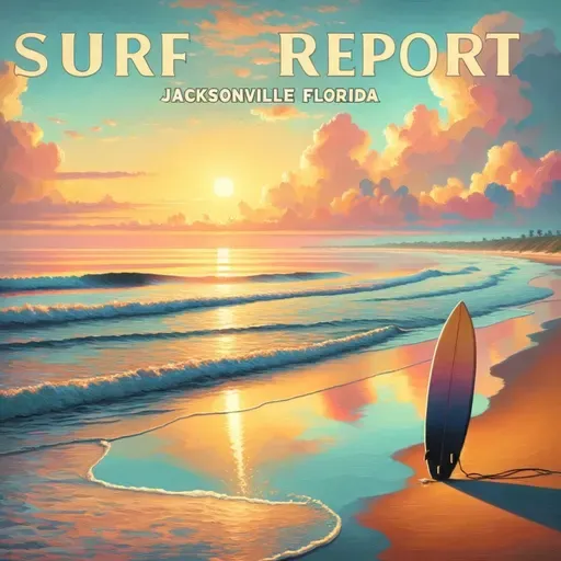
Surf Report for Jacksonville Florida
About
Surf's up, beach lovers! Get ready for a wild weekend of waves and weather along the Northeast Florida and Southeast Georgia coastlines.
Today's looking like a moderate rip current risk with surf heights dancing between 2 to 3 feet. Expect a mostly cloudy playground with southeast winds around 10 mph shifting to northwest by late afternoon. Water temps are sitting sweet at a toasty 80 to 85 degrees - perfect for cooling off.
But here's the catch - afternoon thunderstorms are likely to crash your beach party. UV index is moderate, so grab that sunscreen and maybe a light jacket for those surprise rain showers. Temperatures will hover in the mid 80s, keeping things warm and spicy.
Now brace yourselves, because Sunday and Monday are bringing serious surf drama. Rip current risk is jumping to HIGH with surf heights climbing to 3 to 4 feet. North northeast winds will be cranking up to 15 to 20 mph with some gusty attitude. More clouds, more showers, and a solid chance of thunderstorms are heading your way.
Looking ahead to Labor Day, expect 4 to 5 foot waves with partly sunny skies and those persistent thunderstorm uninvited guests. Temperatures will cool slightly into the lower 80s with steady northeast winds around 15 mph.
Beach lovers, this weekend is all about respecting the ocean's mood swings. Stay alert, watch those rip currents, and remember - the ocean is calling, but she's feeling a bit feisty!
Stay safe and surf smart!
For more http://www.quietplease.ai
Get the best deals https://amzn.to/3ODvOta