03 September 2025
Dangerous Rip Currents and High Waves Slam Northeast Florida Coast Beaches with Intense Surf Conditions This Week
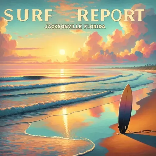
Surf Report for Jacksonville Florida
About
Surf's up, beach warriors! The National Weather Service is dropping some serious wave intel for Northeast Florida and Southeast Georgia coastlines.
Hold onto your board shorts because today's conditions are no joke. We're looking at a high rip current risk that means business - life-threatening currents are likely in the surf zone. Waves are rolling in at 3 to 4 feet with northeast winds howling around 15 miles per hour.
Water temperature is sitting pretty at a warm 80 degrees, perfect for those who want to brave the potentially gnarly conditions. Expect partly cloudy skies with a slight chance of surprise showers and temperatures climbing into the mid 80s. Pro tip: the UV index is cranked up to very high, so sunscreen is your best friend today.
Tide schedule highlights include low tides ranging between 10:59 AM and 11:27 AM at hotspots like Mayport, Jacksonville Beach, and Fernandina Beach. Evening high tides will peak around 5:41 to 6:00 PM.
Heading into Thursday, conditions mellow slightly with a moderate rip current risk. Surf height drops to 2 to 3 feet, winds ease to around 10 mph, and you'll enjoy mostly sunny skies with just a whisper of potential showers.
The extended forecast promises continued beach-friendly weather with surf heights gradually decreasing to 1 to 2 feet by the weekend. Temperatures will hover in the upper 80s with light northeast winds.
Stay alert, stay safe, and catch those waves responsibly!
For more http://www.quietplease.ai
Get the best deals https://amzn.to/3ODvOta