23 July 2026
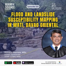
Ep133 - Flood and landslide susceptibility mapping in Mati, Davao Oriental
Behind The Science Podcast
About
In this episode, we talk with Mr. Ramil Ramos about his study on flood and landslide susceptibility mapping in the City of Mati, Davao Oriental. Using a GIS-based Multi-Criteria Decision Analysis integrated with the Analytical Hierarchy Process (MCDA-AHP), the study generated hazard susceptibility maps and examined how urban expansion from 2017 to 2024 has increasingly encroached into high-risk zones.
📚Reference: Ramos, R. L., & Cabrera, J. S. (2026). GIS-based multi-criteria decision analysis (MCDA-AHP) for flood and landslide susceptibility mapping and urban sprawl assessment in the Mati City, Davao Oriental, Philippines. Davao Research Journal, 17(2), 56–67.